"False"
Skip to content
printicon
Main menu hidden.

Map collections

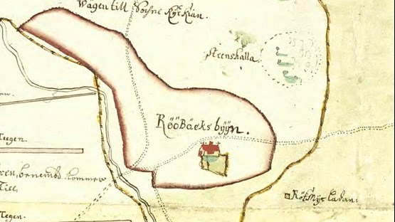
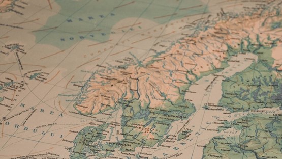
The University Library collection of maps consists of both digital and printed maps. You can also find historical maps in our collections.

The map collection contains

  • maps from the General Staff and the National Land Survey map sheets
  • maps from the Geological Survey of Sweden (SGU) and the associated collection of reports
  • atlases
  • a reference collection of atlases and bibliographies.

The collection of map sheets essentially covers Sweden.

Copying of map sheets

All map sheets are considered to be fragile. We recommend that you ask for help with copying rather than borrowing map sheets. Also check if the corresponding map sheets are available in electronic form before you borrow. We can help you.

Geodata Extraction Tool (GET)

Teachers, researchers and students at Swedish universities can download geodata via the service Geodata Extraction Tool.

Land Survey Map Sheets

Map sheets in our collection of the National Land Survey Maps cannot be located by searching the library search tool. These map sheets are to be found in the map cabinets in the map collection on the Balcony. Map sheets lacking barcode cannot be borrowed. These may only be used within the library.

Land Survey Maps have had various names over the years. Name changes apply to both paper maps and the maps available on CD-ROM (published around 2000). Old maps must be sought by their then existing name in the GeoLex. The web service GeoLex contains common information on maps from NLS, SGU, the Maritime Administration and SMHI. GeoLex shows graphically which maps have been issued.

Summary of Swedish map types

Summary of Swedish map types

Property Map

Replaces Yellow map and Economic map (scale 1: 10,000). Published since 1999. Covering Sweden except the mountainous region of Lapland. The Library does not have the newest editions of the Property Map as this only pushed to order via the service Din Karta. However, there are forerunners economic map that contains raw assets, hemmansgränser and hemmansnummer. Yellow map (scale 1: 20,000) is a variant of the Economic map.

Real property

Topographical map

Replaces Green Map (scale 1: 50,000) and the old topographical map. Covers the whole country except Norrland. Previously, only the last version saved on UB but in 2003 saved all editions. Also as CD-ROM.

Roadmap

Replaces Blue map (scale 1: 100 000) covering the whole country. Previously, the overview map has not been saved by the Library but as of the autumn of 2003 all editions are saved. Also as CD-ROM.

Mountain Map (Fjällkartan)

Retains its former name (scale 1: 100 000) Covers mountainous region of Lapland. Previously, only the last version saved to the library, but beginning in 2003 all printed editions are saved.

Overview Map

Replaces Red map (scale 1: 250,000) covering the whole country. Previously, only the last version saved to the library, but beginning in 2003 all printed editions are saved. Also as CD-ROM.


Atlases

Atlases in our collections can be found by searching the library search tool. A selection of atlases that can be borrowed is located in the map collection on the Balcony. There is also a reference collection of atlases (shelf mark: Ref kartor) and bibliographies (shelf mark: aany).

National Atlas of Sweden
The National Atlas of Sweden (1990- ) consists of a number of volumes. The English language version (17 volumes) are available for loans. The Swedish language edition is shelved on shelf mark Ref maps Sve.

Atlas of Sweden
(1953-1971) Published by the Swedish Society for Anthropology and Geography – may be of interest to those looking for older information that contained in the National Atlas of Sweden.

Useful links to more resources

Swedish maps

Maps from Geological Survey of Sweden
Geological Survey of Sweden is mapping Sweden's bedrock, soil and groundwater.

Statistics Sweden
Find maps codes, names and changes for regional divisions in Sweden.

International maps 

Perry-Castañeda Library Map Collection

British Cartographic Society

Earth Sciences & Map Library Berkeley

David Rumsey Map Collection

The Library of Congress - Map Collections

Utrecht University Library Special Collections - Maps and atlases

National Geographic Maps

Historical maps

Read more about our collection of historical maps.

Latest update: 2024-02-28