
NEWS Researchers at Umeå University in Sweden are exploring the potential to create a landscape level map of the shapes of lake basins through a laser survey. This is a critical missing piece of the puzzle for understanding the role of lake carbon cycling at large spatial scales.
The study is a part of an ongoing project aiming to establish a reference area in Sweden for detailed studies that can link the understanding at ecosystem level to landscape scale as well as assess the feedback of aquatic carbon cycling to climate change. Cristian Gudasz, researcher at the Climate Impacts Research Centre (CIRC) at Umeå University in Sweden, is leading the work and has initiated collaborations with Dimitri Lague, Head of Dynamics, Imagery and Modeling of Environmental Systems and Scientific manager of the Nantes-Rennes Topo-bathy LiDAR platform at the University of Rennes in France.
“We are surveying an area of 126 km2 from the eastern shores of the lake Torneträsk to Riksgränsen on the Norwegian border in the west. The topography covers a mountainous plateau and encompasses hundreds of lakes. The survey aims to collect data on topography and the shape of the terrain under water by the use of laser, and hence create a high-resolution and complete map of lakes,” says Cristian Gudasz.
This means that the terrestrial and aquatic landscape can be viewed in 3D. The high-resolution spatial information will serve as the basis to construct and test models from lake to landscape scales.
This type of large-scale LiDAR survey has only been attempted once before, in Alaska in 2014. The survey planned in the Abisko area will be the first of its kind on the European continent. The instrument used is the Optech Titan LiDAR system.
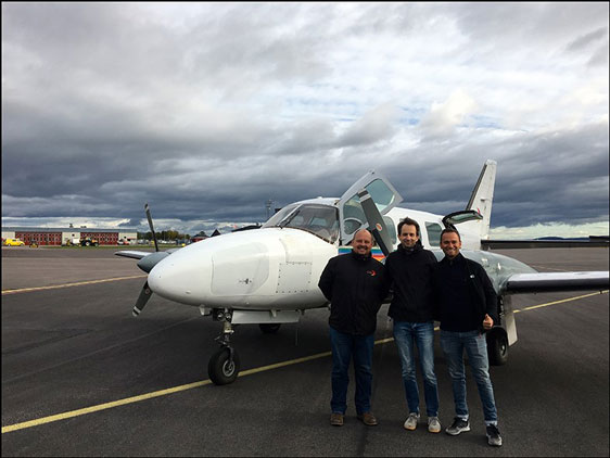
During 28–29 August 2017, a team of LiDAR operator William Gentile from Geofit Expert, and pilot Jean Jerome Houdaille from Pixair Survey carried out the gathering of LiDAR data over roughly seven hours of flight time. Large amounts of data were gathered and which are now being processed.
The researchers are hoping that the final data analysis will reveal the potential of this technique to explore the landscape, which can serve as a new basis for future studies of the link between carbon cycling in lake ecosystems, landscape and climate.
This research has been granted support from CIRC and the Swedish Research Council (VR).
The Climate Impacts Research Centre (CIRC) conducts research, education and outreach with focus on terrestrial and aquatic ecosystems in Arctic and alpine environments. The aim is to integrate new knowledge in ecology and biogeochemistry to get a better understanding of current conditions and to make projections for the future. The operations are based in the Abisko Scientific Research Station, 200 km north of the Arctic Circle in Sweden (68.35° N, 18.82° E).
Cristian Gudasz, Department of Ecology and Environmental SciencePhone: +46 73-761 68 49
Email: cristian.gudasz@umu.se
Short film 0:50 min of CIRC measuring Abisko land and lakes using radar.
Editor: Anna Lawrence